

Free Engineering Tools
Free engineering tools for our East Bay community.
Interactive maps and calculators that make public geologic and seismic data understandable — so homeowners, buyers and contractors can see what lies beneath a property before they buy, build or retrofit.
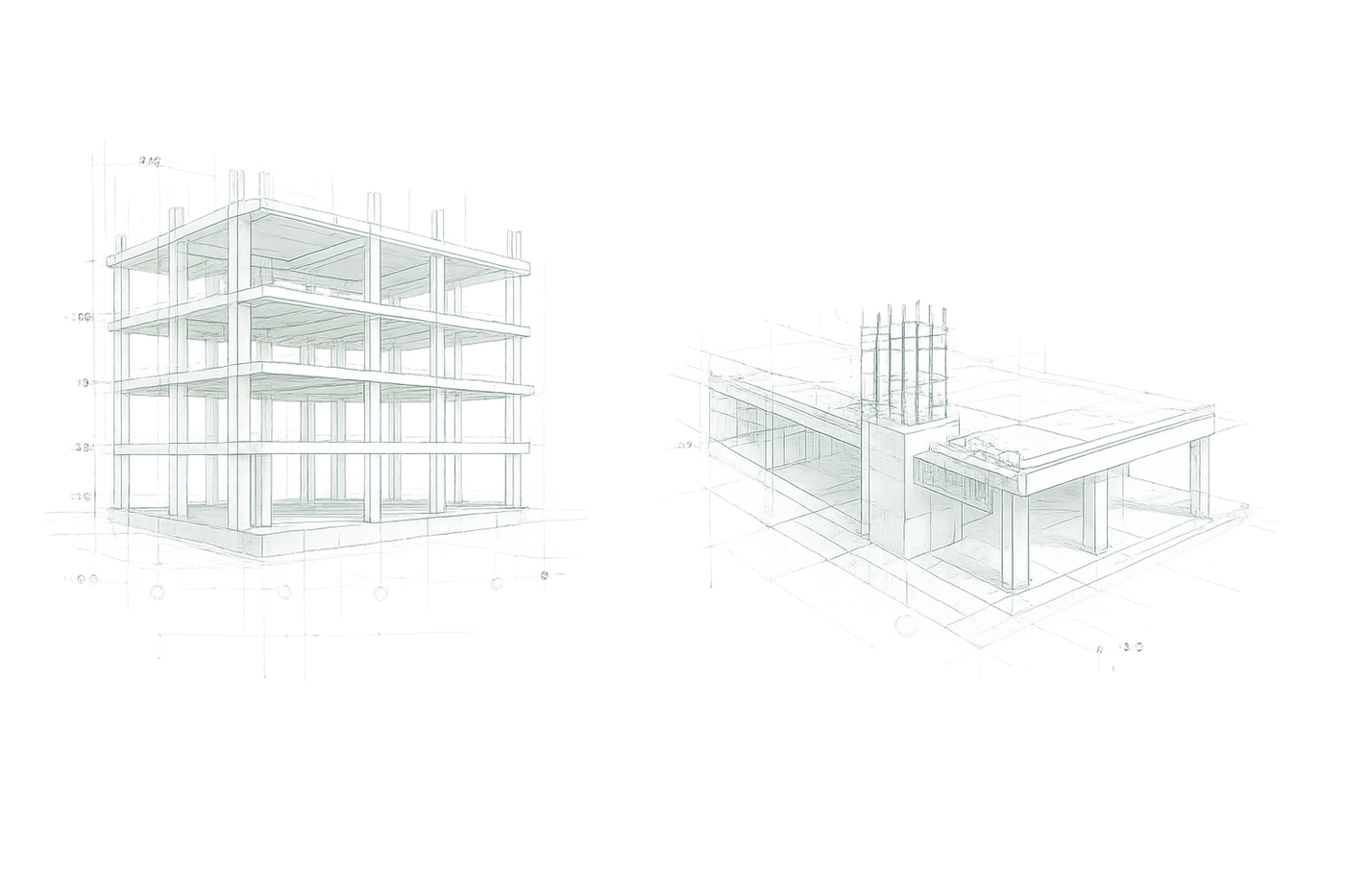
Four free tools
Know the ground before you decide.
Built by the KSF engineering team from public geologic, soil and seismic data. Every tool is free, needs no sign-up, and works for any address in our East Bay service area.
Landslide Map
Mapped landslide deposits and slope hazards across the East Bay hills, drawn from the 1995 Alan Kropp & Associates survey. Search any address and see what the hillside has done before.
So you know the history of the slope before you build on it. Open the toolBay Area Soil Profile
The soil and geologic units beneath any Bay Area property — and what they mean for foundations, settlement and liquefaction risk.
So the foundation conversation starts with facts, not guesses. Open the toolEarthquake Tracker
Recent and historic earthquakes around your home, with magnitude and distance from your address, so you can read the seismic story of your neighborhood.
So you understand the ground that shakes beneath you. Open the toolSeismic Damage Predictor
A screening estimate of how a wood-frame home may perform in a major earthquake, based on FEMA HAZUS models and your home’s age, foundation and retrofit status.
So you can see the value of a retrofit before the next quake, not after. Open the toolComing soonThe same free tools for our Los Angeles County and Sacramento Region communities.
Screening tools for education and early planning — not a substitute for a site-specific engineering inspection or geotechnical report.
Get in touch
Ready to bring us into your project?
Whether you’re early in design, mid-permit, or trying to figure out what’s really going on with your home, we’d like to hear about it.